 vesseltracker.com
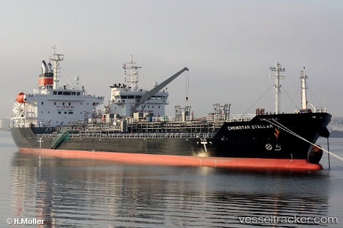
Vessel CHEM PLUTO IMO: 9624770, MMSI: 636021051 Chemical/Oil Products Tanker
UTC, 14.30208, 114.43852, course: 42, speed: 11.4
UTC, 14.30208, 114.43852, course: 42, speed: 11.4
2026-03-24 04:23:57 UTC, 14.30208, 114.43852, course: 42, speed: 11.4
Live Vessel CHEM PLUTO Analytics (details, animations, etc.)
Live AIS position: UTC. 270 nm E of Tan Cang Qui Nhon), updated 2026-03-24 04:23:57 UTC.Find the position of the vessel CHEM PLUTO on the map. The latter are known coordinates and path.
marine traffic ship tracker show on live map
The current position of vessel CHEM PLUTO is 14.30208 lat / 114.43852 lng. Updated: 2026-03-24 04:23:57 UTCCurrently sailing under the flag of Liberia
CHEM PLUTO built in 2012 year
Deadweight:
21323 tDetails:
Last coordinates of the vessel:
UTC, 13.43945, 113.69788, course: 40, speed: 12.1UTC, 14.30208, 114.43852, course: 42, speed: 11.4
UTC, 14.30208, 114.43852, course: 42, speed: 11.4
2026-03-24 04:23:57 UTC, 14.30208, 114.43852, course: 42, speed: 11.4